Hiking
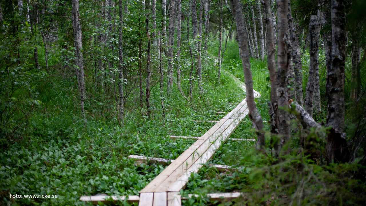
In Norsjö municipality there are plenty of areas where you can hike.
The Church Trail
The church trail is one of the oldest roads in the area. It was used by the first inhabitants of Norsjö when they travelled to the city of skellefteå to fulfill their christian duties or to bury ther beloved ones in holy ground. The trail is approximately 35 km long and you can travel by foot, bike or horse.
Bastuträsk- Kläppen – Långträsk- Kvavisträsk – Bodberg.
Rågmjölsvägen ” Rye flour road”
This road was used up until the early 1900’s and worked as one of the most important roads for the inhabitants of Norsjö and Malå municipalities. This because it was the connection to the trainstation in Bastuträsk. It’s a 60 km hike all together, start in Bastuträsk, Norsjö or Åmliden.
Norakammen
This is by far the most beautiful trail in the Area. It follows the ridges that was created by the thick inland ice that once covered most parts of Sweden. Start in Böle, Långträsk or Kvavisträsk.
Map of Rågmjölsvägen, Norakammen and Kyrkstigen
Vajsjöstigen
This trail goes around Vajsjön, a nature reserve in the middle of Norsjö town.
It is a 11 km long trail that was restored just a few years ago.
Svansele dammängar
If you’re after a shorter walk with beautiful views, this might be the place for you.
It is located just outside of Svansele.
Senast ändrad 2 oktober 2024
